
Upper Verde Watershed History Project Is Now Live!
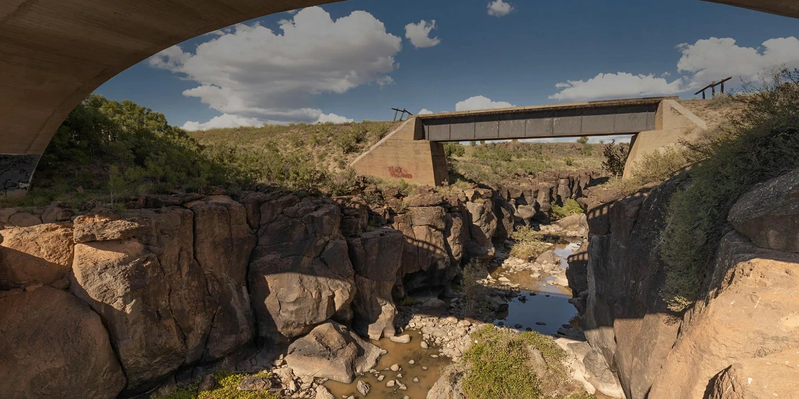
A Water History Timeline and StoryMap of the Upper Verde River Watershed is now accessible on the WRRC website. The Timeline and StoryMap highlight how the Upper Verde River watershed, including its landscapes and communities, has changed from ancient times to the present.
With funding from The Nature Conservancy and the Nina Mason Pulliam Charitable Trust, and in partnership with the Yavapai County Cooperative Extension, a WRRC research team conducted interviews, organized community workshops, collected archival materials, and engaged stakeholders to produce the StoryMap. The goal of this project was to create a community-informed understanding of key aspects of the Upper Verde Watershed, including shared memories, historical events, and geographical setting. The Water History Timeline traces the region’s story from early geological events to today’s water policies, while the StoryMap allows readers to explore different topics and points of interest pertinent to the social, geographical, and policy contexts of the watershed.
The project is part of the WRRC’s Water Research and Planning Innovations for Dryland Systems (Water RAPIDS) program. Since 2014, the Water RAPIDS program has been actively working with local, state, nonprofit, and federal partners on various projects. Through a flexible approach to water resources planning, the team seeks to strengthen local and regional economies while supporting the natural resources that contribute to quality of life. Building awareness about the relationship between natural resources and water use is foundational to their work in developing solutions that meet the needs of stakeholders and the environment.