
WRRC Water Webinar Introduces Internet of Water Tools
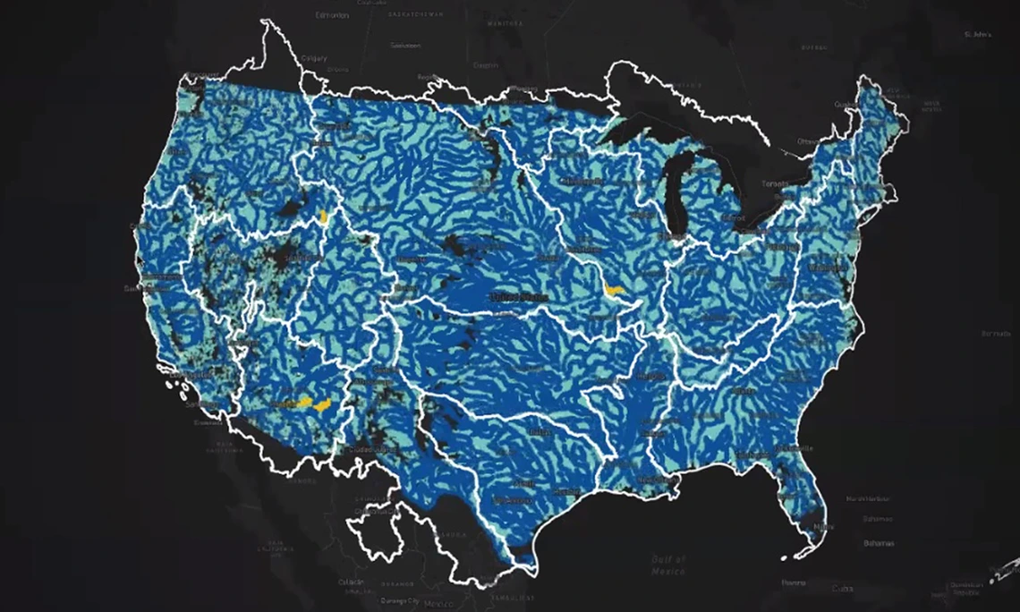
Water data producers from different agencies often use inconsistent formats, terminology, and standards, making the data fragmented and incommensurable. Fortunately, the Internet of Water provides a connection for water-related data to increase its interoperability. On October 6, 2025, Kyle Onda presented a WRRC Water Webinar, titled “Laying Internet of Water Bricks: The Backend, Frontend and Everything in Between.” Onda, who is the director of Internet of Water at the Lincoln Institute of Land Policy’s Center for Geospatial Solutions, explained the use of Geoconnex, a technological tool to help make the Internet of Water accessible and actionable while empowering water data users to make informed, data-backed decisions.
Within the Internet of Water, data producers collect and check data, after which hubs aggregate and publish that data using best practices and standards to ensure that it is findable, accessible, interoperable, and reusable (FAIR). Geoconnex links the data across hubs, allowing users to discover, access, and integrate the data for decision-makers to apply within communities and elsewhere. The Geoconnex system caters to different users, offering scalability and flexibility to meet their diverse needs and help them quickly find river and basin data. Tutorials are available to help users navigate these tools. Geoconnex also welcomes continuous feedback from users on any use issues.