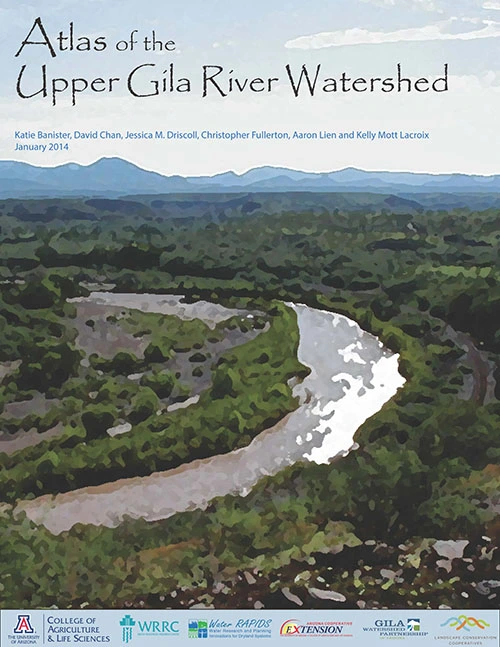
This Atlas contains a baseline assessment of conditions in the Upper Gila River watershed. It includes information on the history, cultural and natural resources of the watershed, and how some of those resources have changes over the past few decades. The range of information it provides includes basic geography of the region: geology, soils, towns and roads, to changes in watershed conditions: land use, forest fires, population and groundwater levels. Organized as a comprehensive reference for quick access to available information, the Atlas can also be used as a starting point for watershed planning, because it provides a common base of data for stakeholders in the Upper Gila River watershed. The Atlas was assembled using a database with 62 unique geospatial datasets ranging from soil erodibility to instream flow right applications. It includes more than 20 original maps, as well as the first Automated Geospatial Watershed Assessment model for the Upper Gila River watershed. The Automated Geospatial Watershed Assessment model can be used to determine the impacts of changing land use characteristics on water resources, and maps showing key model outputs can be found in the last section of the Atlas.

