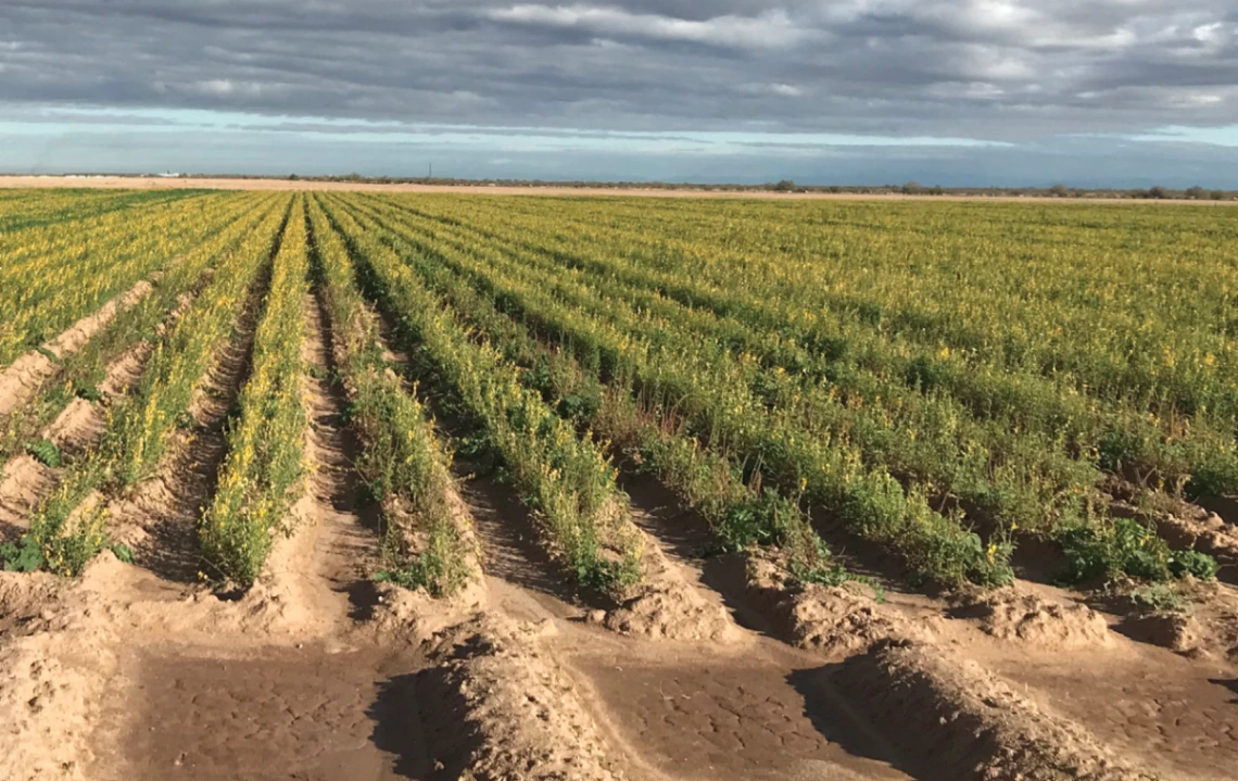
A Visual Guide to Water in the Pinal Active Management Area
June 15, 2020
Image

 The WRRC is pleased to share our newly released report Getting Down to Facts: A Visual Guide to Water in the Pinal Active Management Area, a collection of information on water use and management in the Pinal Active Management Area (AMA). In partnership with the Babbitt Center for Land and Water Policy, this report was created as a reference resource for interested residents, decision makers, and other stakeholders by summarizing existing data, through graphics and concise text. This report, with its 40 customized figures and tables, uses maps and data visualizations to explain the interconnections of water demands and supplies with the hydrologic setting, jurisdictional boundaries, resource availability, institutional framework, and the roles of various governmental and non-governmental entities. In light of the critical water challenges faced by the Pinal AMA, the WRRC and Babbitt Center hope that the "just-the-facts" approach of this report will provide a solid foundation of knowledge to understand local water issues and to plan for the future.
Contact: Ashley Hullinger, Research Analyst

