
When
Where
Speaker(s)
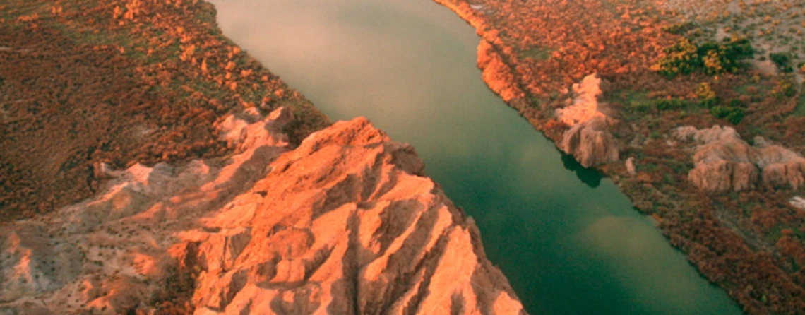
Streams and aquifers are hydraulically connected in many hydrologic systems across Arizona. Such a connection occurs when the groundwater level in an aquifer intersects a stream, spring, or even the roots of riparian plants. In these hydraulically-connected systems, the surface water and groundwater interact as a stress imposed on one part has an effect on the other. Often this interaction is observed as a reduction in stream base flow caused by groundwater withdrawals from a connected aquifer – a process often called “streamflow depletion” or “capture”. An aquifer recharge project or a change in climate represents stresses that also have effects. The nature of the connection between surface-water and groundwater was thoroughly described and established in the literature by C.V. Theis in 1940. The timing of the effect, and where it is observed, however, varies greatly among hydrologic systems, and depends on only two factors: (1) distance between the stress and the connected stream, and (2) the diffusive hydraulic properties of the aquifer. Hydrologists often understand the nature of these relationships, but many in the public and many resource managers hold misperceptions. For example, a common misperception is that the amount of recharge to an aquifer affects capture—often the perception is that systems with greater recharge should be impacted less by groundwater pumping. However, the timing and rate of capture is independent of recharge and inflows and outflows of the flow system. Hydrologists at the Arizona Water Science Center have worked across the state to develop groundwater-flow models for assessing and communicating groundwater/surface-water interactions. These tools have been used for making various resource management decisions, but they have also initiated useful and revealing dialogs regarding the connections of surface water to groundwater.
 Jim joined the USGS Arizona Water Science Center as a hydrologist in 2000. From 2000 to 2007, Jim worked first on three projects in the Upper San Pedro Basin. The first was to quantify the groundwater and surface-water requirements of the riparian vegetation and the second was to quantify stream-aquifer interactions as part of the groundwater model development. Following these projects, Jim led the “Section 321” project that evaluated the water budget and hydrogeology for the San Pedro basin and summarized findings in annual reports to congress. A key aspect of this work was interpreting the wide variety of data collected and working with the Upper San Pedro Partnership to assess progress toward sustainable withdrawals of groundwater. From 2007 to 2013, Jim has served as the Center’s Associate Director and Investigations Section Chief. In that role Jim has worked in the Verde River basin to explain surface-water/groundwater interactions as represented by the USGS Northern Arizona Regional Groundwater Model. Currently, Jim is the Director of the Arizona Water Science Center.