
New Visual Data Tools Available
July 1, 2020
Image
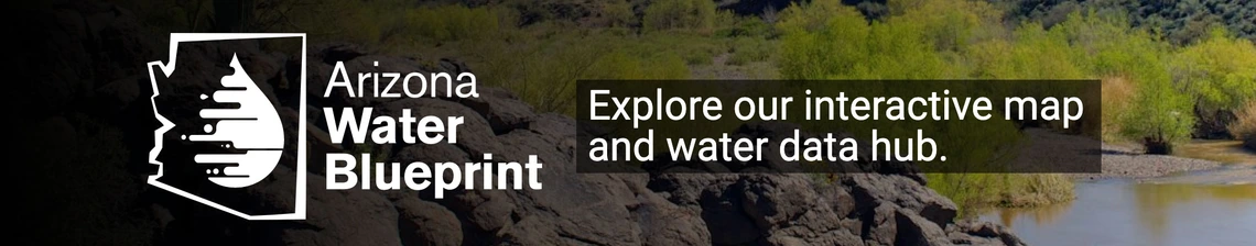
Several visually rich information tools are now available for answering your various water-related questions. The Kyl Center for Water Policy at ASU has just released its Water Blueprint, the result of a multi-year effort to create a comprehensive water data hub accessible to the public. A single portal offers admittance to data bases from many sources, including Arizona state agencies, federal agencies, water providers, cities, counties, and a multitude of others. The Water Blueprint offers easy access to data previously difficult or impossible for the general public to see and interpret. Also in June, the Babbitt Center for Land and Water Policy within the Lincoln Land Institute has released its Colorado River Basin StoryMap, a visual exploration of the history, hydrology, ecology, use, and future of the entire basin. With the Colorado River Basin GIS Open Data Portal, which is linked through the StoryMap, the Babbitt Center created an Esri ArcHub containing the data, maps, and related reports used in this online resource. Finally, WRRC Research Analyst Ashley Hullinger released a visual introduction to water in the Pinal Active Management Area (AMA). This largely agricultural region between two expanding metropolitan areas faces a complex water situation. Because agricultural water users expect to lose a substantial proportion of their renewable Colorado River water, interest is strong in planning for a sustainable future. Getting Down to Facts: A Visual Guide to Water in the Pinal Active Management Area presents fundamental information about the who, how, and how much of water in the AMA.
Arizona Water Blueprint
Colorado River Basin StoryMap
A Visual Guide to Water in the Pinal Active Management Area