Jump to navigation

The University of Arizona Wordmark Line Logo White
Home
  • Facebook
  • Twitter
  • YouTube
  •  
  • Events
  • News
  • Publications
  • Programs
  • Resources
  • Opportunities
  • About
  • Give
Weekly Wave
  • Facebook  
  • Twitter  
  • YouTube  

Log In

A research and extension unit of the

College of Agriculture and Life Sciences

Education
September 02, 2022

ADWR Provides Water Maps and Data

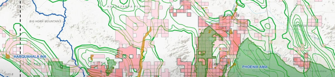
The Arizona Department of Water Resources (ADWR) has recently announced public information resources are now available on a section of its public website devoted to maps and data. Some are new, and others have been available for a while. Eight maps are interactive, which means that either clicking on the map or using the search function will bring up information on the map topic. The map on Community Water Systems (CWS) identifies the water provider for a map location or address, shows the boundaries of its service area, and lists other data about the provider. It also shows the location of the providers’ wells, both active and inactive. Another map gives access to information about the Assured Water Supply status of a development or municipal water provider in the same way.

Maps relating to groundwater include maps on groundwater rights, registered groundwater wells, and Groundwater Site Inventory (GWSI) wells, which are wells that provide ADWR with data they use for water modeling and other functions. The rights map contains information on the type, size, location, and ownership of individual groundwater rights, which may be useful for buyers and sellers of such rights. The map of registered wells can be used to find all the registered wells within a defined area or a specified radius of a specific location. A property owner, for example, can find out about what wells are nearby. GWSI wells are the source of field-verified data, regarding wells and springs, collected by personnel from ADWR's Hydrology Division's Field Services Section, the U.S. Geological Survey, and other co-operating agencies. Tabulated GWSI data are available for download.
 
There are also interactive maps relating to Arizona’s General Stream Adjudications with location dots for claims that have been filed and the delineation by ADWR of ‘subflow zones’ for the San Pedro and Verde Rivers. Wells that draw water from subflow zones are part of the stream adjudications (judicial processes to determine all rights to water from the Gila and Little Colorado Rivers and their tributaries). There is also an interactive map for the Arizona Water Banking Authority that shows where and how the bank has stored water underground.
 
An additional collection of maps is available for download in PDF format. For example, a series of maps show groundwater level change 1993-2013, and another map shows water logging in the Buckeye area. There is also a link to a group of maps showing areas of land subsidence and earth fissuring. Both subsidence (sinking of the land surface) and fissuring (cracks opening) can be caused by groundwater extraction that lowers the water table.
 
The maps are accompanied by data useful for people who work with GIS (geographic information systems) for data analysis and visualization.

ADWR Interactive Maps & Data

Recent News

Education
January 13, 2023
Calling All APW Water Festival Volunteers!

APW is so excited to be getting back into the field, with many of its 2023 Water Festivals taking place in February and March. This means there are many opportunities for the public to get involved and contribute to their communities at these fun-filled educational field days. Arizona Water Festivals help 4th graders across the state gain a deeper understanding of water in the Earth System and Arizona's water resources.

Read More
Education
January 13, 2023
USGS Coordination Grant Awarded for Measuring River Flooding Events

As Arizona’s federally authorized Water Resources Research Institute, the WRRC helps administer USGS-funded Coordination Grants under the Water Resources Research Act. Dr.

Read More
December 16, 2022
Water on Mars

To investigate connections between landforms on Mars to landforms on Earth, APW travels far into water education topics. Through a partnership with Flagstaff’s STEM City Full STEAM Ahead (FSA) program, APW is engaged in a year-long initiative with FUSD’s Shauna Cooper of Knoles Elementary to deepen science instruction in her fifth-grade classroom.

Read More
Engagement
December 09, 2022
Rep. Jim Kolbe Remembered for His Service to Southeastern Arizona

On Saturday, December 3, former congressional representative for Southern Arizona, Jim Kolbe, died at age 80. He had served in Congress for 22 years, from 1984 to 2006, for 20 years as a member of the influential House Appropriations Committee.

Read More
Engagement
December 02, 2022
Two New Publications from WRRC Staff

Two new publications have recently been released, featuring work from WRRC staff. Transboundary Aquifers – Challenges and the way forward, was published by the United Nations Educational Scientific Cultural Organization (UNESCO). 

Read More
Engagement
November 18, 2022
First Citizen Initiated AMA Approved by Voters

On November 8, 2022, residents in two southeastern Arizona groundwater basins voted on whether to put limits on groundwater use. 

Read More
  • Show More

We tackle key water policy and management issues, empower informed decision-making, and enrich understanding through engagement, education, and applied research.

Give Today
Weekly Wave

Keep up with our news and events with a subscription to our Weekly Wave.

Subscribe

Reach Out

  • 350 N Campbell Ave
    Tucson, AZ 85719
  • (520) 621-9591
  • Email Us
  • Directory

Follow Us

  • Facebook
  • Twitter
  • YouTube

© 2023 The Arizona Board of Regents on behalf of The University of Arizona.