When
Where
Speaker(s)
Presentations: Monitoring Tamarix defoliation and mortality from D. carinulata attacks using satellite imagery in Grand Canyon National Park, Arizona, USA and Isotopes, geochemistry, citizen science and local partnerships as tools to build upon a fractured understanding of the hydrology of the Patagonia Mountains
This Brown Bag will feature presentations by students who received research grants in 2019 through the WRRC from the Water Resources Research Act, Section 104(b) grant program.
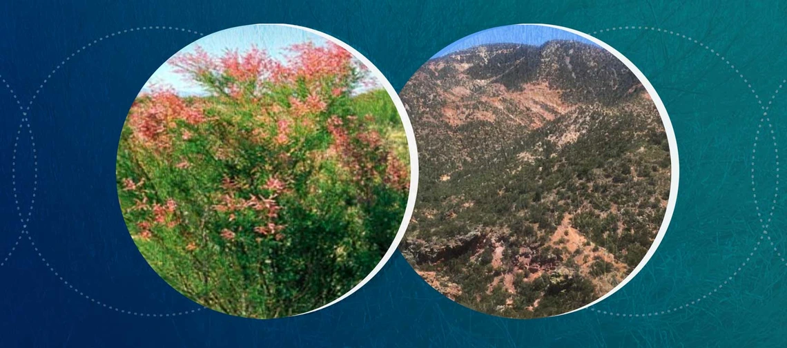
Tamarisk are an invasive shrub species in the United States that have a negative impact on biodiversity and water availability in riparian corridors throughout the Southwest. Scientists and land managers are using remote sensing methods to monitor tamarisk and its response to the northern tamarisk beetle, introduced as a biocontrol agent in 2001. Existing remote sensing methods take advantage of the unique spectral signature of tamarisk across seasons and often rely on remote sensing to measure its response to defoliation by the tamarisk beetle. Previous studies have used expensive, high-resolution, airborne imagery. For this project, we developed a defoliation index to identify tamarisk defoliation events. The accuracy of defoliation and mortality detection by this index in the topographically complex Grand Canyon National Park was used to compare Landsat and commercial Worldview sensors and define topographic and stand size conditions conducive to remote sensing analysis at various resolutions.
Nat is earning his MS in the Environmental Sciences and Policy Program at Northern Arizona University. Through the Remote Sensing and Geoinformatics Lab, he has worked on multiple projects studying the utility of remote sensing methods in Grand Canyon National Park.
Changing groundwater recharge conditions due to drought and increasing demand of groundwater have residents of the Sonoita Creek Watershed in Southeastern Arizona concerned about future groundwater availability and spring flow. Little is known about changing recharge conditions in the Patagonia Mountains and increasing demand will affect spring flow and groundwater levels. To address these concerns and advance understanding of the local hydrology, an analysis of isotope ratios and the geochemistry of local springs was undertaken to guide the development of a conceptual model of groundwater flow within the Patagonia Mountains. Using this conceptual model, local residents were trained to collect data regularly, contributing to future management decisions around water use by the Town Council and enabling well owners and other stakeholders to see the effects of varying precipitation and groundwater use on spring flow and the groundwater table.
Sean is a MS student in Hydrology and Water Resources and pursuing the Water Policy Certificate at the University of Arizona. He is a Peace Corps Coverdell Fellow and a Society and Environment Fellow.

